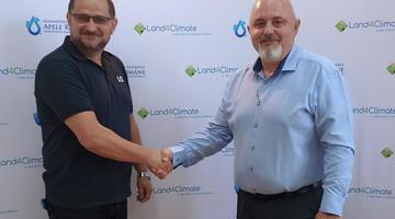
BWBA starts discussions with Lugoj Municipality for LAND4CLIMATE
The Banat Water Basin Administration has begun the necessary steps to obtain an agreement to use some land owned by the Lugoj Municipality. The goal is t...


The Upper Timiş River catchment is a part of Banat Hydrographical Area, spanning mainly across Timiş County and Caraş-Severin County, while extending partially into Arad, Gorj, and Mehedinți Counties. Situated in the southwestern region of Romania, the Hydrographical Area is bounded by the Serbian border to the south and west, and the Hungarian border to the northwest. Encompassing a vast expanse of 18,393 square kilometres, this area constitutes 7.7% of Romania's total territory. Distinguished by a diverse landscape, the altitude gradually descends from the southeast to the northwest. Banat Hydrographical Area is characterised by the presence of all forms of landscape. The collective length of water bodies under the jurisdiction of the Banat River Basin Administration extends to 6,296 kilometres. Within the Timiş River Basin, which spans 2,434 kilometres in length and covers an area of 7,310 square kilometres, this catchment area plays a crucial role.
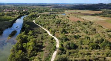
The Upper Timiş River catchment faces a multitude of challenges that demand attention and resolution. These challenges include flood-related issues, posing a threat to the region's stability. Additionally, the catchment struggles with hydrological drought. The presence of non-functional gravel exploitation pits, marked by their unattractive appearance, further contributes to the area's concerns. Finally, riverbed erosion requires effective strategies to mitigate its impact and maintain the integrity of the ecosystem.


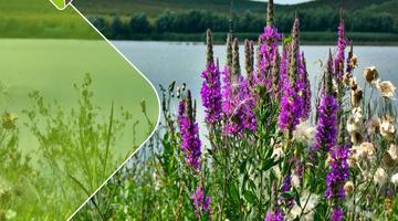
The Upper Timiş River catchment will undertake various LAND4CLIMATE related actions to enhance its environmental resilience and contribute to sustainable development. These initiatives include the restoration of ponds and wetlands, the construction of water retention channels, enhancement of riverbank habitats, river widening projects, and tree and greenery planting efforts. These strategic actions are expected to yield positive results, such as the reduction of flood risks through improved water retention and management. Simultaneously, the restoration activities will foster the creation of diverse habitats, promoting biodiversity within the region. By connecting new water areas to the existing river system, these actions aim to enhance the overall hydrological network. Furthermore, the actions will contribute to reducing sediment and nutrient input, thereby improving water quality. The increase in groundwater levels resulting from these interventions is anticipated to have a positive impact on the local ecosystem. Additionally, the tree and greenery planting initiatives will not only beautify the landscape but also contribute to the improvement of the microclimate, creating a more sustainable and resilient environment within the Upper Timiş River catchment.
Locals and private landowners in the Upper Timiș River catchment can actively participate in LAND4CLIMATE effort by attending NBS awareness meetings organised by local authorities and project partners. These gatherings provide a platform for community engagement and encourage locals to volunteer for tree and greenery planting initiatives, supplementing the ongoing project efforts. Private landowners are essential for LAND4CLIMATE, as they can make their land available for NBS implementation and advocate for broader participation among their peers. Through collaborative efforts and community involvement, both residents and private landowners are invited to contribute to the success of the project’s efforts in the Upper Timiș River catchment.