Lower Timiş river catchment.

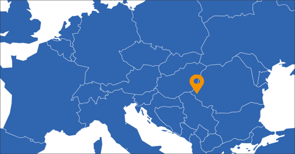
The Lower Timiş River catchment is a part of Banat Hydrographical Area, spanning mainly across Timiş County and Caraş-Severin County, while extending partially into Arad, Gorj, and Mehedinți Counties. Situated in the southwestern region of Romania, the Hydrographical Area is bounded by the Serbian border to the south and west, and the Hungarian border to the northwest. Encompassing a vast expanse of 18,393 square kilometres, roughly equivalent to the size of Slovenia, this area constitutes 7.7% of Romania's total territory. Distinguished by a diverse landscape, the altitude gradually descends from the southeast to the northwest. Banat Hydrographical Area is characterised by the presence of all forms of landscape, whose altitude decrease from South-East to North-West. The collective length of water bodies under the jurisdiction of the Banat River Basin Administration extends to 6,296 kilometres. Within the Timiş River Basin, which spans 2,434 kilometres in length and covers an area of 7,310 square kilometres, this catchment area plays a crucial role.
Challenges facing the region.
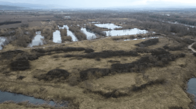
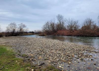
The Lower Timiş River catchment confronts similar challenges as the frontrunning region the Upper catchment, which require attention and resolution. Among these challenges are issues related to flooding, which pose a threat to the stability of the region. Additionally, the catchment grapples with hydrological drought. The existence of inactive gravel exploitation pits, characterised by their unappealing appearance, worsen the area's concerns. Lastly, addressing riverbed erosion is crucial for implementing effective strategies to mitigate its impact and uphold the integrity of the ecosystem.
Replicating Region's role in LAND4CLIMATE.
In the context of LAND4CLIMATE, replicating regions play a crucial role as observers and learners, focusing on knowledge and experience exchange with their relative frontrunning region. This approach aims to replicate the success of these measures in a practical experiment, assessing their adaptability in a different regional context. The emphasis is on knowledge transfer and skill development through collaborative efforts with the partner region. To facilitate this knowledge exchange, replicating regions participate in training programs related to the NBS efforts of LAND4CLIMATE. In essence, the replicating regions serve as active participants in the scaling-up process, contributing to the broader goal of extending the reach and effectiveness of NBS initiatives. By fostering collaboration and learning from frontrunning regions, they enhance their capacity to address climate challenges and contribute to a sustainable and resilient future.
Lower Timiş river’s connection to the Upper Timiş river.
The Lower Timiș river catchment is the natural extension of the upper catchment of Timiş River. The NBS applied to the front runner region could also be applied in the replication region since Timiş River is entering into the plain which is a suitable landscape for implementing NBS in order to create wetlands.


